(From
Journal) 7:30 PM June 11th. Left Cache Creek at 7:15
this morning. Saw 4 bear and 3 deer. Maybe someday I'll
come back to tour just Canada--there's so much wilderness here.
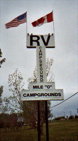
Drove
about 500 miles. Made it to Dawson Creek, BC, Mile 0 of the
Alaska Highway.
I might
have bitten off more than I can chew with this Alaskan trip.
This wasn't in my travel plans, so I'm playing it by ear. It's
a long, long way!
I'm
beginning to feel pressured by money and time limits. At this
rate I don't think I'll make it home by July 1st. And
financially--I'll be paying for this trip for 2 or 3 years...maybe
more.
But I'm
this far, and not going back now. You only live once and
chances are I'll never get to come this way again--so it's go for
broke!
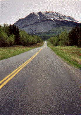
Above:
Ain't that a pretty sight!
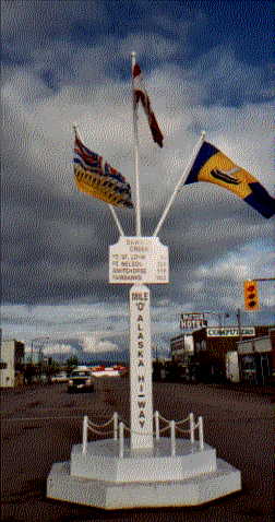
Above:
This sign at the beginning of the Alaska Highway reads:
Fort
St. John......48 miles
Fort
Nelson........300 miles
Whitehorse........918
miles
Fairbanks.........1,523
miles
No
Sweat! I can make it, and that goes double for my Kia!
Here's
an excellent web site to find out more about Dawson Creek, British
Columbia:
June
12 6AM: I''ve been going to bed
pretty early lately, so I seem to be getting up around 4:30 AM for
the last few days. I guess the time change makes a difference
too. Plus, it's light when I go to sleep, and light when I get
up.
I'd like
to stop in at the visitor center here in Dawson Creek, but it won't
be opening for another 3 hours. And by then I could be maybe
100-150 miles down the road.
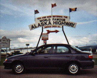
Tents
down. Car's packed. Peanut butter sandwich and water for
breakfast. Time to go. First day on the Alaska
Highway! Only 1,523 miles to go to Fairbanks!
6
AM First day on the Alaska Highway! Just me and my
"unstoppable machine!"
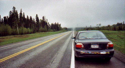
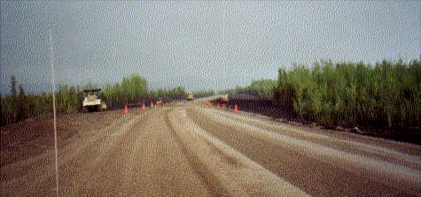
Quite
a bit of construction on the Alaskan Highway. They are in the
process of taking out the "many curves" in the highway. It's
been taking years, and will take a lot more work to complete the
job.
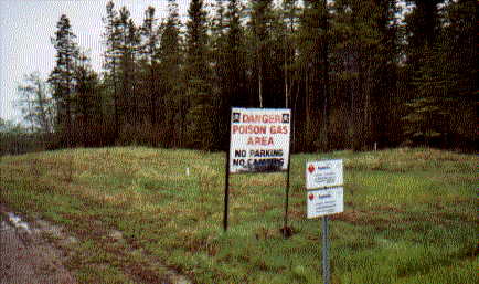
Above:
interesting sign: DANGER POISON GAS AREA
Above:
Awsome
Above:
I know I have a picture of a real caribou crossing the highway here
somewhere...
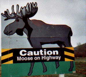
Above:
Moose on highway sign...
Above:
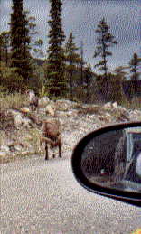
And two moose crossing the road...They are a lot bigger in
person--really!
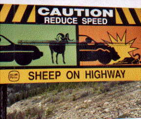
Above:
Sheep on highway sign.
Above:
Sheep on highway.
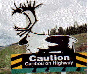
Above:
Caribou on highway sign.
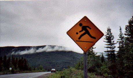
Above:
Kid chasing a ball across the Alaska Highway sign.
Nope,
surely didn't see any kids chasing balls across the Alaska Hwy.
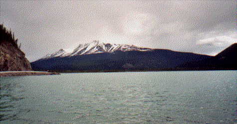
Right:
Muncho Lake, British Columbia
This
lake is the most beautiful milky, emerald color that you've ever
seen! Not like the picture.
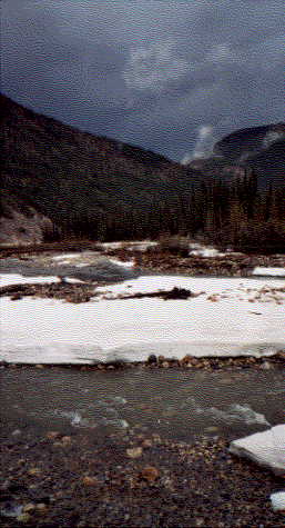
Left:
I wish I were a photographer so most of my pictures would come out
so crappy. The scene on the left is an ice-filled river
running through the mountains--although it hard to tell from the
picture. Darn. I should practice more. Maybe read
up on photography. I think I will.
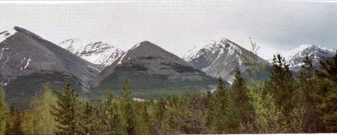
Below:
These are an example of "Sawtooth" mountains--I read that on the
plaque.
And
here's a book (actually a huge magazine
updated every year) that I wished I
had with me. People I met on the road kept saying, "You should
have THE MILEPOST. Anyone driving the Alaska Hwy. should have
it."
Well,
they were right. But I had never heard of the book
before. And I didn't end up buying it until AFTER I got
home! This book explains EVERYTHING--distances, landmarks,
attractions, places to stay, etc..
The book
is kind of expensive, but it's worth it. Last years issue
would be cheaper & it's probably just about the same as this
years issue.